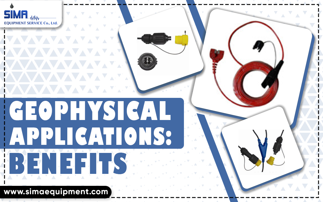
geophysical equipment for sale
Geophysical Applications: Benefits
Like any other technique, Seismic Cable offers both benefits and drawbacks. As mentioned in the last piece, Geophysics’ key benefits consist of its non-invasive, high productivity, 2D/3D coverage, and application in difficult conditions. However, invasive approaches are required to directly monitor the qualities and circumstances of the imaged objects, which no non-intrusive technology can do.
Geophysical Testing Has Many Benefits
Before recommending geophysical testing for a certain application, weighing the method’s merits and drawbacks is important. Here is a quick rundown of the benefits:
- There are many situations where traditional drilling, testing, and sampling would be problematic (e.g., gravel and talus deposits) or where possibly contaminated soils may exist in the subsurface. Yet, geophysical tests provide considerable advantages since they are non-invasive.
- As a rule, geophysical testing may characterise enormous regions with very few tests since it covers such a wide area. It works especially effectively for projects with a long length and a short width (like building a new highway).
- The true elastic properties of soil and rock may be evaluated using geophysical measuring techniques, which examine features at extremely tiny stresses, often on the order of 0.001%.
Location Variables And Design Factors
One must be familiar with the anticipated site circumstances and target characteristics to determine whether geophysical methods will be useful. An improved “probability of success” forecast and judgement on the applicability of geophysical tools may be made with more information and data. The target and its surroundings should also have different physical qualities. The density disparity between soil and bedrock is greater, for instance, if the rock is competent limestone compared to heavily worn shale.
Interpretation
A geophysicist’s expertise, knowledge of site conditions, and external limitations (such as core samples, direct connection to utilities, as-built plans, and extra geophysical data sets) all contribute to the dependability of data interpretations. Some geophysical data (such as a metal detector map from a UST survey) are easy to understand, while others need a high level of skill from the reader.
Geophysical Testing and Its Limits
General drawbacks of geophysical techniques include:
- Most techniques excel when used on problems with a sizable stiffness gradient between neighbouring subsurface units.
- If the broad stratigraphy is composed of hard material over soft material, generating an appropriate stratigraphic profile is challenging.
- Because of the subjective nature of interpreting test results, only a seasoned engineer or geologist well-versed in the relevant testing technique can provide meaningful findings.
- There is a need for specialised gear (as opposed to the regular subsurface research instruments often used).
To What End Is Geophysics Useful?
These days, we employ geophysical techniques for:
- We are expanding our understanding of the planet’s makeup by mapping vast geological regions.
- Hydrocarbon, mineral, and groundwater exploration and extraction
- Identifying underground CO2 storage sites
- Keeping an eye on underground CO2 injections
- Locating optimal sites for wind turbines and pipelines/cables on the ocean floor and mapping the top few metres of the Earth’s crust for tunnel building.
- Taking into account the potential damage from natural disasters like earthquakes, tsunamis, and landslides.
- Archaeological investigations in the Arctic to document the effects of global warming on permafrost
Conclusion
The study and use of Geophysical Equipment techniques will grow in importance in the next years. We need to locate more groundwater aquifers because of the potential for water scarcity in various locations on our planet. Permafrost melting in the Arctic is becoming more likely due to climate change; geophysical techniques are employed to track and monitor this phenomenon.

